From Staff Reports
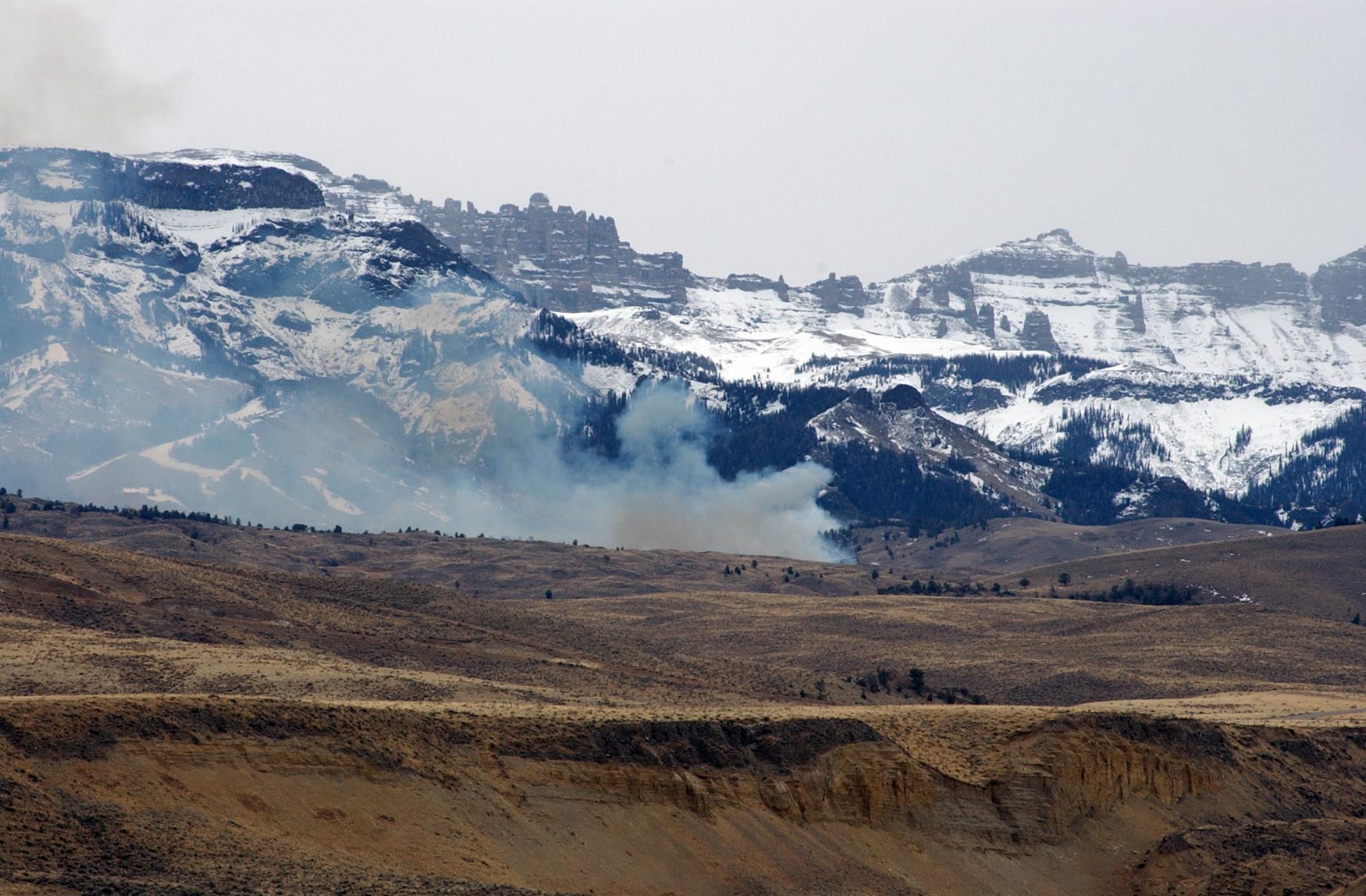
MOOSE, WYO. — Teton Interagency Fire personnel plan to conduct several prescribed fire projects during April and May, according to information released Thursday by the Grand Teton National Park public affairs office.
Planning for a prescribed burn can take several years, and fire managers work with resource management personnel to develop and write a “prescription” that includes not only the desired treatment but also parameters for wind speed and direction, relative humidity, and fuel moisture in live and dead burnable vegetation.
These plans also outline the types and numbers of resources (staff and equipment) needed to safely conduct each burn and support contingency plans. Fire managers across the Yellowstone area are coordinating with wildlife biologists from the Bridger-Teton National Forest, Grand Teton National Park and Wyoming Game and Fish to ensure precautions are in place to protect wintering wildlife and nesting birds.
If weather conditions are conducive, fire managers from the Buffalo and Jackson Ranger Districts of the Bridger-Teton National Forest (BTNF) and Grand Teton National Park (GTNP) will initiate the following projects:
- Lower Gros Ventre—wildlife and fire managers plan to treat the final 600 acres of this project located at the upper elevations of the Slate Creek and south Ditch Creek areas. The project, which was first treated with fire in 2007, has been successful in the enhancement of big game winter range and other targeted wildlife habitat areas north of Slide Lake. Partners in the project include Rocky Mountain Elk Foundation, Wyoming Game and Fish, Foundation for North American Wild Sheep, Grand Teton National Park, Wyoming Wildlife and Natural Resource Trust, Wyoming Governor’s Big Game License Coalition, Teton County Fire and EMS and the U.S. Fish and Wildlife Service.
- Lava Creek—this 200-acre prescribed fire, largely on the BTNF with 20 acres in GTNP, is located in Buffalo Valley east of Moran. The primary objectives of the burn are to break up the continuity of highly volatile brush fuels like sagebrush and increase the coverage of aspen stands. These actions will improve the chances of controlling a wildfire before it reaches private structures, and the actions will reduce the potential for high-intensity fires. In 2001 fire managers identified this area within the Teton County Community Wildfire Protection Plan as the sixth priority out of 19 residential communities at risk.
- Beaver Mountain—this 575-acre burn is located on the Jackson Ranger District of the BTNF. The Beaver Mountain project area was also identified in the Teton County Community Wildfire Protection Plan. Up to 200 acres are targeted for this spring. Objectives for the burn include rejuvenating aspen and reducing sagebrush fuels to increase defensible space within the community of Bryan Flats.
- Hayfield Restoration—fire and resource managers also plan to burn 100-200 acres in the hayfields area between Kelly and Mormon Row as a continuation of a 4,000-acre native rangeland restoration project in GTNP. This project involves a multistage effort to convert pasture land back to native vegetation as part of the 2007 Bison and Elk Management Plan for the National Elk Refuge and Grand Teton National Park.
Smoke will be visible the day of the burn, and may persist for several days, especially in mountain valleys during early the mornings and evenings. Helicopters may be used for ignitions or for aerial monitoring. Please use caution in the vicinity of the fires and be aware that minimal traffic restrictions may be implemented to allow for public and firefighter safety and fire equipment access. For more information on the Bridger-Teton National Forest projects, please call Jason Lawhon, North Zone assistant fuels manager at 307-739-5431 or visit www.tetonfire.com
UPDATE: Shoshone National Forest also plans controlled burns
Cody, Wyo. (March 29, 2012) – The Wapiti Ranger District of the Shoshone National Forest is planning controlled burns this spring, as weather conditions allow.
In the North Fork corridor, seventy acres are planned on Flag Peak between Canyon and Lost Creeks to enhance bighorn sheep habitat and reduce hazardous fuels. On Carter Mountain, 20 to 50 acres northeast of Long Park are planned to complement timber harvest that occurred several years ago. This project will decrease hazardous fuels caused by beetle-killed trees. A 100-acre controlled burn will provide additional protection for Northwest College Field Camp. This project is planned in the Henry’s Mill area, south of Dead Indian Pass. Near the junction of State Highways 296 and 212 and the Lily Lake Road, 500 to 750 acres are planned to enhance wildlife habitat, aspen regeneration, and reduce hazardous fuels. All areas will be posted with signs and adjacent land owners will be notified before burning begins.
For more information about these projects, contact the Wapiti Ranger District in Cody at 307.527.6921.

Hi. We plan, and have paid down payments, on travel and hotels in the Yellowstone, Tetons, and South West of Missoula, Montana…..
What are the wild fire threats in those area….
High?
Moderate?
Low?
Please
Hi Bob,
Grand Teton just upgraded their fire risk status to moderate. It’s very dry in the area, and not getting much better as summer advances. It definitely shouldn’t affect your travel plans, as even the worst fires will rarely prevent you from getting in and seeing and doing lots of fun stuff throughout the region. Subscribe to our newsletter for timely updates.
-Ruffin Prevost, editor
Yellowstone Gate